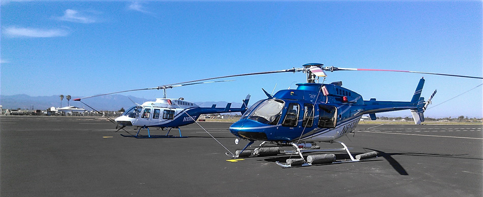
Veteran’s Emergency Technical Services (VETS), with 37 years of GIS and Infrared experience, along with Aspen Helicopters, with 36 years of Emergency Incident Flying, have joined forces to fill your needs for a multi-use type III helicopter with the premier infrared module as cost effective as possible. Daily rate is nearly 20% less expensive that other infrared providers.
VETS
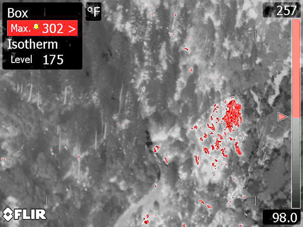
- High Resolution Side Looking Infrared Camera (SLIR) (Infrared, Color Photos and Video).
- Detailed infrared surveys, not high elevation flyovers.
- Localized UAV mapping and infrared flights available upon request.
- GPS Enabled Digital Camera (Excellent for Damage Assessment)
- Resource data collection: Limits of retardant spread, asset evaluations
- GPS Units to Provide Location and Perimeter Data (Data Exported in GPX and/or ESRI Format).
- Infrared Mapping Trailer (Multiple Work Stations, Printing from Letter to Poster Size).
- No Impact on the Incident GIS Unit. All Data Creation and Map Production done by V.E.T.S.
- All maps are configured for use in PDF Maps.
- Incident Action Plan type infrared maps produced for each operational period.
- Infrared analysis support to incident staff.
- Real Time Interaction with line crews during infrared surveys to assist in hot spot location.
Aspen
- Helitorch/PSD, Recon, HELCO and Bucket Work Experience
- Contracts with USFS and CALFire
- Certified Type III Air Attack Platform
When you order Aspen Helicopters you have a fully functioning Type III helicopter. Bell 206 and 407 models are available. Add the Infrared module and you now gain the V.E.T.S. top of the line infrared system that can be removed or added in under 10 minutes. This allows the helicopter to be re-configured very quickly, as needed.
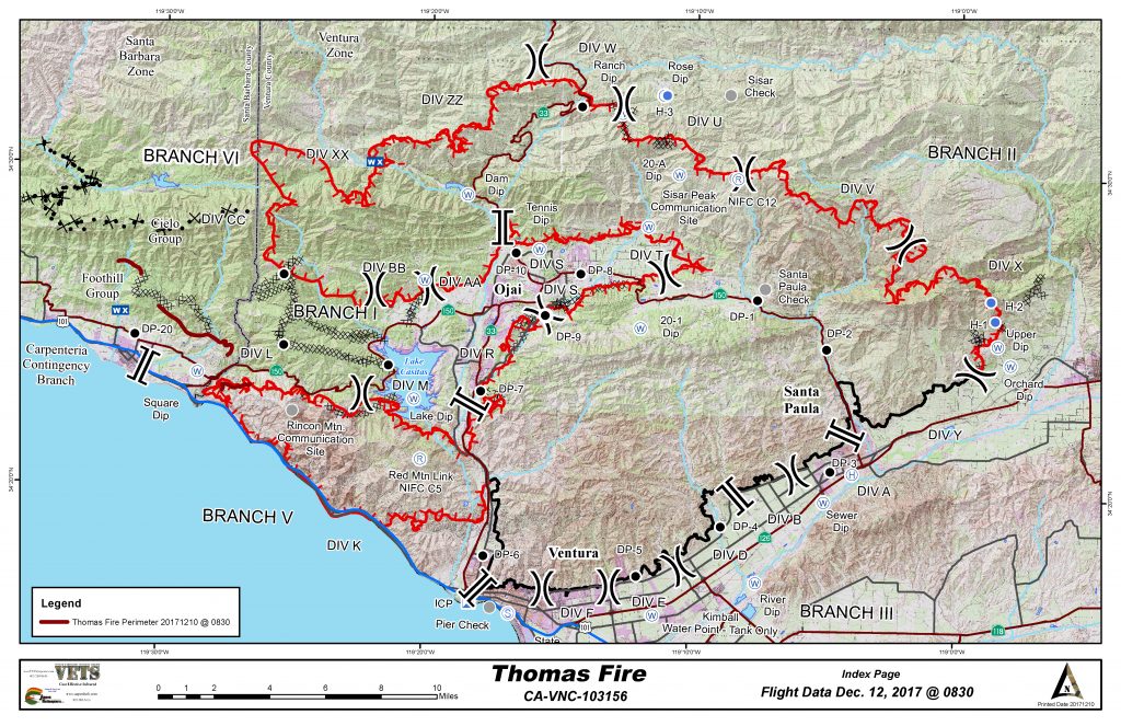
Infrared Operational Maps
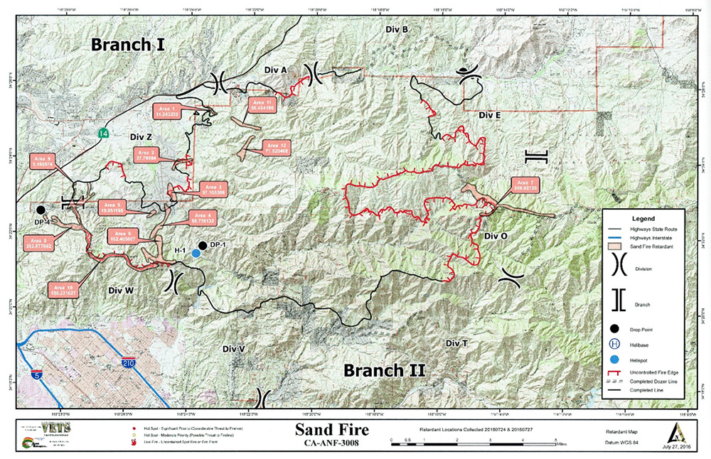
Retardant Survey Maps
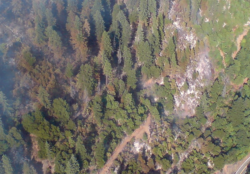
Matching Color Photo and Infrared Image
Ordering Procedure:
For Region 5 dispatch, call your local GACC, North Ops or South Ops. Request Type III helicopter with IR module.
For other than Region 5: Contact NICC, Boise: request Region 5 IR asset.
Testimonial:
“I wanted to send you a quick note and let you know how effective I found the VETS maps to be in my division. On the Powerhouse fire on the Angeles National Forest there were many sections of line that were very steep and nearly impossible to grid with crews. One section in my division had been gone over multiple times by a hotshot crew and they thought they had everything lined or hand felt. Then a map that we received at morning briefing gave a location of “spot outside the line, no heat.” We found it a little funny and doubted that the map could be that accurate. The crew sent a squad out on a seek and destroy mission. There indeed was a small piece of black found in an area under some brush that they would not have sent any firefighters into unless necessary. Everyone on the division realized how useful the resource was. I am very impressed that VETS is capable of this level of accuracy. I feel that in the future this may prevent us from sending people into dangerous terrain to simply patrol or grid for spots showing no smoke, as well as many other efficient uses.”
-Division Line Officer

